Redistricting
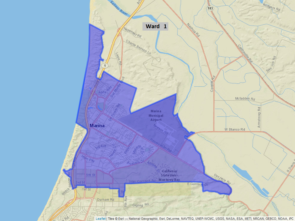
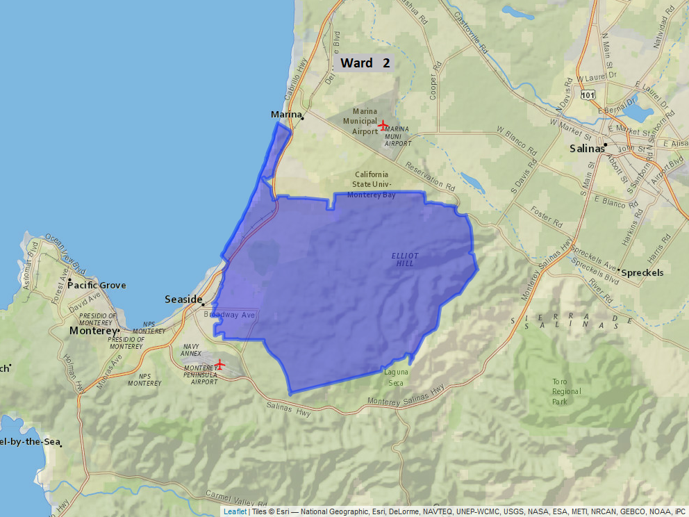
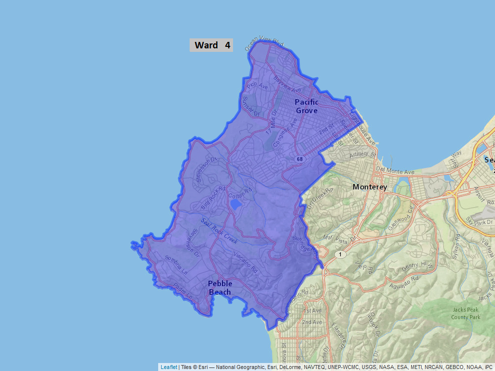
The District recently completed the process of redistricting, following results of the 2020 Census. To view the final report on ward maps, click here. Individual ward maps are shown below.


The District recently completed the process of redistricting, following results of the 2020 Census. To view the final report on ward maps, click here. Individual ward maps are shown below.